Multi-day journeys that fit together perfectly
Planning a multi-day motorcycle trip is hard. Which itineraries work well together? How do you avoid repeating roads? Where should you go to see the most points of interest?
These journeys solve that problem. Each one combines carefully selected daily itineraries that complement each other - no duplicate roads, no backtracking, maximum variety. Every journey has been designed as a complete experience, not just a bundle of random days.
Looking for single-day rides instead? Check out our individual itineraries.
No duplicates
No duplicates
Each itinerary in a journey has been chosen considering all others. You'll see the best roads and places without repetition.
Day-to-day flow
Day-to-day flow
Journeys are designed so each day ends where the next begins. Logical progression, no wasted time repositioning.
Decision-free
Decision-free
Stop researching and comparing. These journeys represent the best combinations I've found after years of riding this island.
Journey of Gran Canaria in 3 Days
Included Itineraries
Eastern mountains
Cities and mountains of the north
The ultimate all-inclusive island adventure.

I want to go to the sea
Included Points of Interest
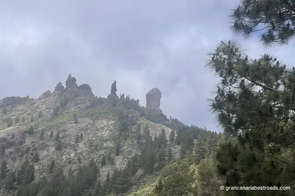
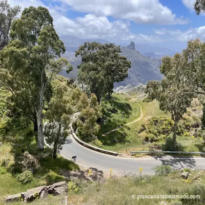
Roque Nublo
Volcanic rock formation 80 meters high at 1813 meters above sea level. Third highest point on the island, emblematic symbol. Rural park with spectacular hiking trails.
Saint Lucia
Municipality in the south-east of the island with 68,506 inhabitants. Located in mountainous area 27 km from Las Palmas. It includes coastal towns such as Cruce di Sardina and Vecindario. Agricultural area with panoramic views.
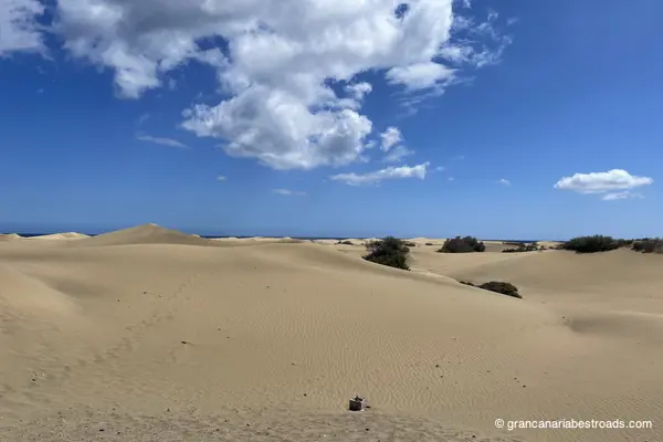
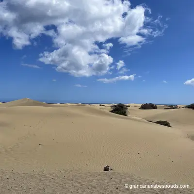
Mirador of Las Dunas
Viewpoint in the Maspalomas area with views of sand dunes and desert landscape. Accessible from Maspalomas with panoramic views of the southern tourist area.
Puerto de Mogan
Picturesque fishing village on the southwest coast with marina. Nicknamed 'Venice of the Canaries' for the canals that connect the port to the beach. Restaurants and bars along the waterfront.
Tufia
Small town in the municipality of Agaete on the northwest coast. Coastal area with traditional character and wild seascape.
Mirador of La Orilla
Viewpoint located in San Bartolomé de Tirajana with spectacular views of Barranco de Tirajana and Santa Lucia. Peaceful atmosphere surrounded by nature with ideal for photography.

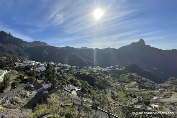
Tejeda
Small mountain town in the center of the island at about 1270 meters. Gateway to two main geographical symbols of the island: the Roque Nublo and the Roque Bentayga. Area of pine trees and rugged landscapes.
Cruz de Tejeda
Spectacular mountain pass at 1560 meters above sea level in the heart of the island. It offers panoramic views of cliffs, ravines, and the ocean. Ideal location for hiking with 360 degree views of the wilderness.
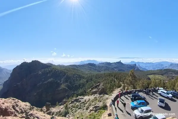
Pico de las Nieves
Highest peak in Gran Canaria at 1949 meters. Stratovolcano with slopes full of Canarian pines. Viewpoint with 360 degree views of the entire island from the highest point.
Arucas
Municipality in the north of the island 9 km from Las Palmas with 36,852 inhabitants. An important urban center with history and cultural heritage. Located on the north coast with easy access from the capital.
Church of San Juan Bautista
Historic churches located in the municipality of Arucas. An important religious structure of Canarian architecture. Site of cultural and religious interest in the north of the island.
Frigas
Small town hall in the north of the island known as the balcony of the Atlantic for views of the north coast. Green and rural area with bottled water production. Peaceful mountain landscape.
Artenara
The highest municipality with the fewest inhabitants in Gran Canaria, at 1270 meters. It offers spectacular perspectives on pine forests, coastline and numerous ravines. Natural balcony with extraordinary panoramic views.

Astronomical Mirador of Pinos
Excellent balcony to the northern sky located in Montañón Negro. It offers a clear view of northern constellations with little light contamination. Ideal location for astronomical observation of the night sky.
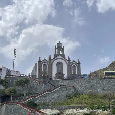
Basilica of the Virgin of the Pine
The most important religious building in Teror built in 1767. Eclectic baroque-neoclassical style with elements of Canarian architecture. It contains an image of the Virgin of the Pine, venerated as the patron saint of the island.
Mirador of Artenara
Viewpoint in the municipality of Artenara with spectacular views of mountains, pine forests and wild landscapes. Ideal for photography and for observing the mountain landscape of the interior of the island.
Teror
Characteristic municipality in the north of the island known for the Basilica of the Virgin of the Pine, patron saint of the diocese of the Canary Islands. Colonial old town with beautiful plazas, traditional architecture and cozy atmosphere.
Port of las Nieves
Fishing village on the northwest coast with ferry port to Tenerife. Maritime facilities with daily connections. Characteristic coastal center with traditional architecture.
Agaete
Municipality on the northwest coast with 5558 inhabitants. One of the first settlements on the island with archaeological remains. Main port for ferries to Tenerife with a seafaring character.
Los Azulejos by Veneguera
Geological wonder with colorful layers of minerals on the mountain terrain. Spectacular rock formation with bright colors due to different minerals. A hiking destination with unforgettable landscapes.
La Aldea Beach
Remote beach on the west coast of the island in the municipality of La Aldea de San Nicolás. Wild landscape with little tourist development. Access point to the Atlantic wilderness.
Mirador del Balcón
Spectacular viewpoint renovated in 2021 with modern boardwalk surrounded by glass over the west coast. Dizzying views of the wild cliffs. On clear days the El Teide volcano is visible.
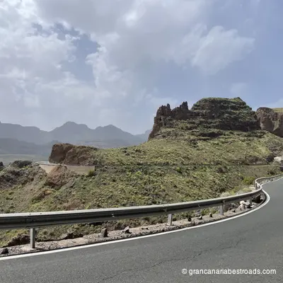
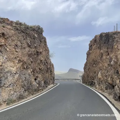
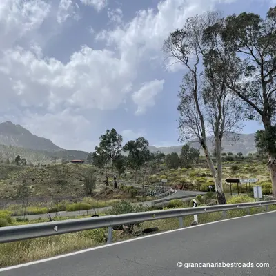
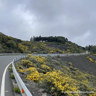
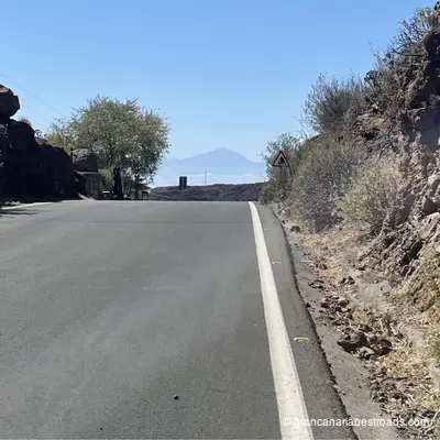
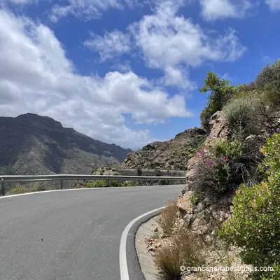
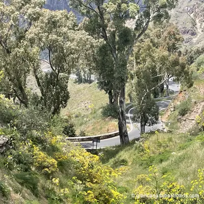
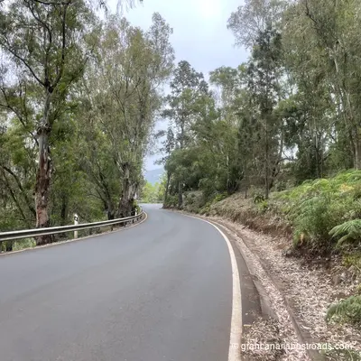
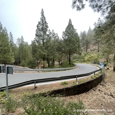
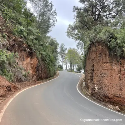
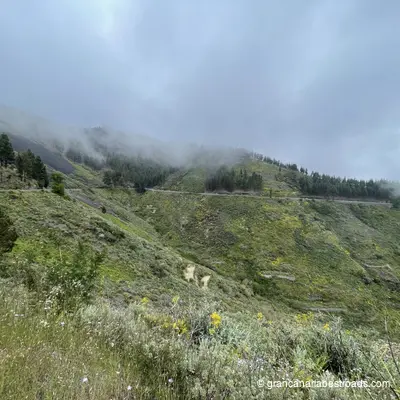
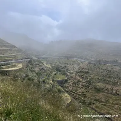
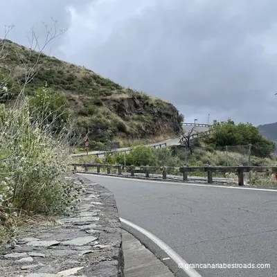
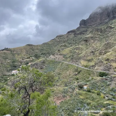
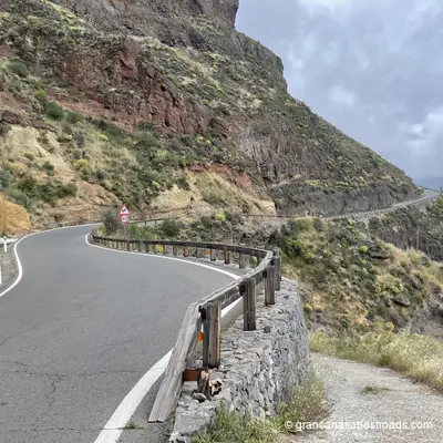
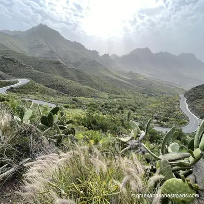
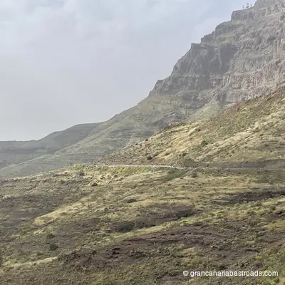
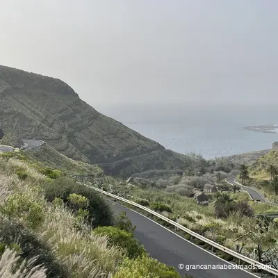
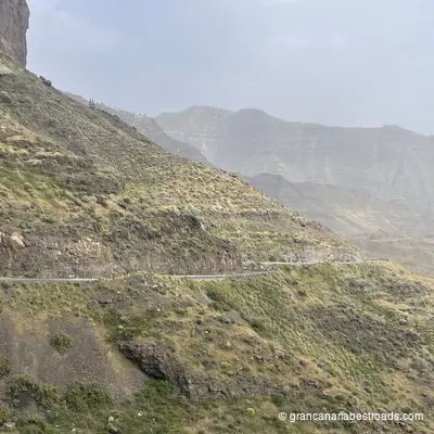
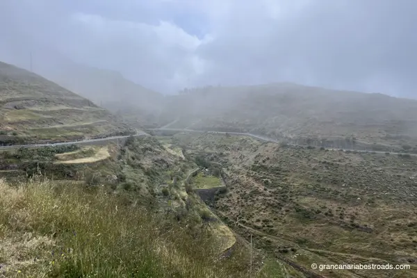
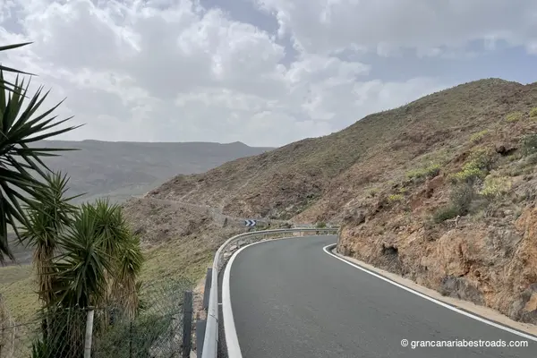
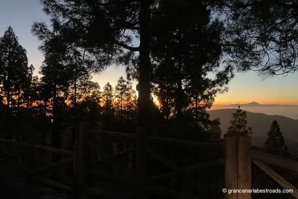
Gallery