One-day motorcycle itineraries designed by a rider, for riders
Most motorcycle tourists miss Gran Canaria's best roads. They follow generic GPS routes that take them on highways or poorly maintained back roads, arriving at viewpoints at the wrong time of day.
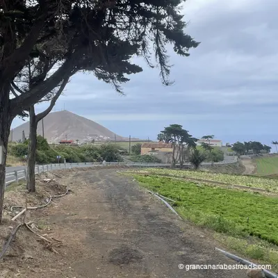
These itineraries are different. Each one has been personally ridden, tested, and refined over dozens of trips. I've cataloged every road condition, timed every segment, and positioned every stop to maximize your riding pleasure.
The Must Buy itineraries cover the island's main attractions in focused day rides — perfect if you only have only one day. The other itineraries explore deeper, revealing hidden gems suited for longer trips. For multi-day adventures, check out our journeys.
Tested routes
Tested routes
Every itinerary personally ridden and refined over multiple trips. Not generated from a map - validated on the road.
Smart pacing
Smart pacing
One hour of riding, then a 30-minute break. Refueling, scenic stops, and meals positioned at the right moments.
Sunset timing
Sunset timing
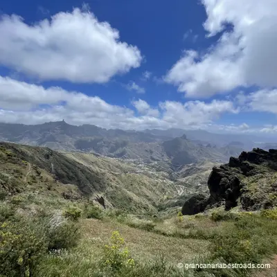
Final stops positioned at scenic viewpoints, timed so you arrive during golden hour. End every ride with an unforgettable view.
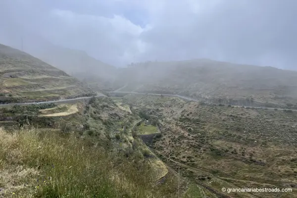
Road quality
Road quality
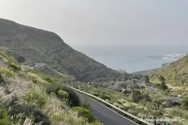
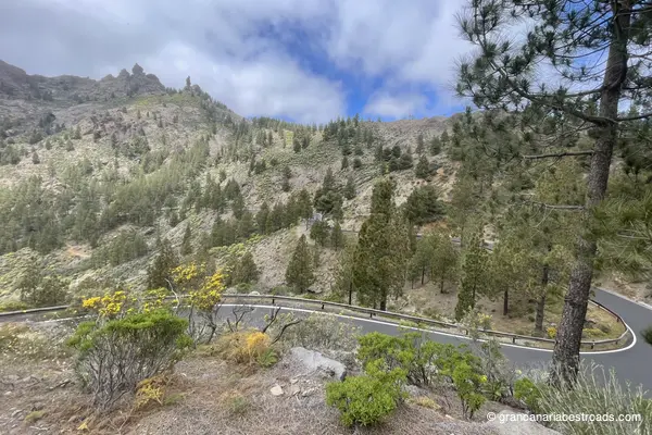
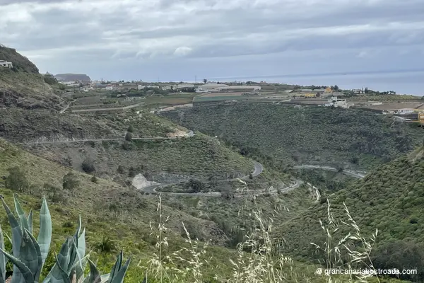
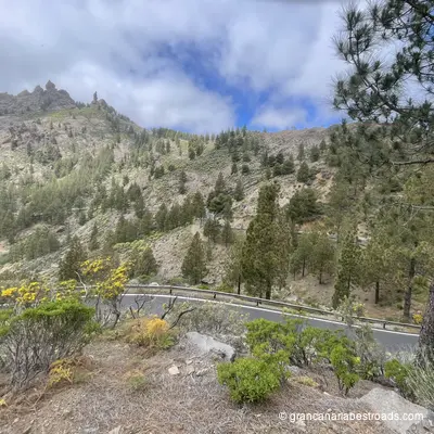
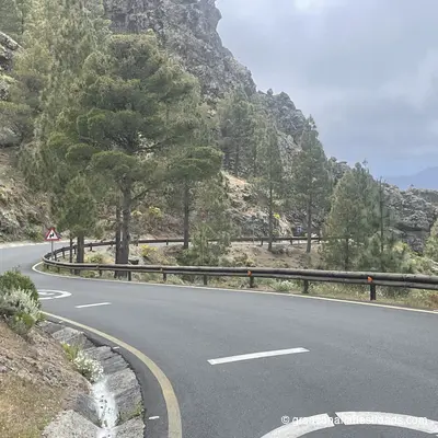
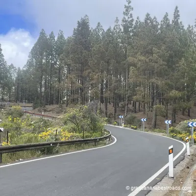
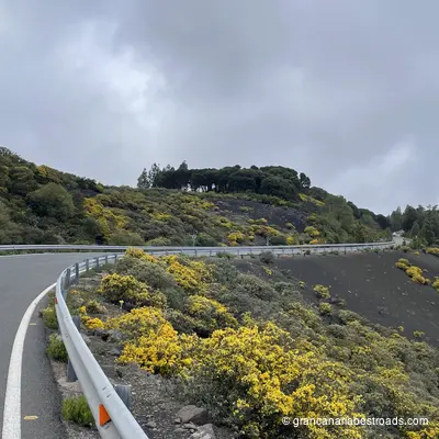
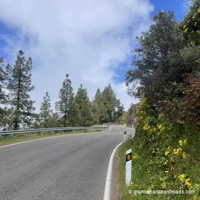
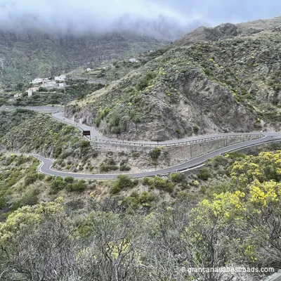
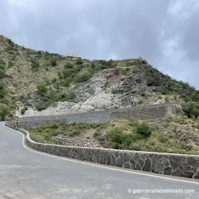
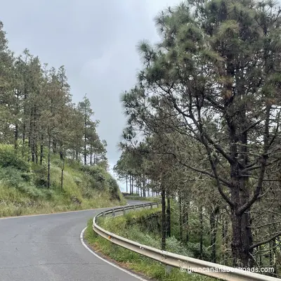
Routes selected for asphalt condition and riding pleasure. Uphill sections on the smoothest roads with the best views.
Original photos
Original photos
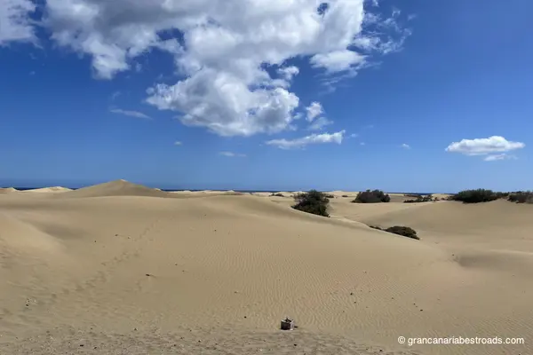
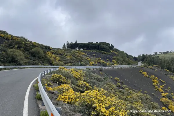
All photos taken on location during actual rides (may take a while). No stock images. What you see is what you'll experience.
Complete package
Complete package
GPX track for your GPS plus a detailed PDF guide with all stops, timing, points of interest, and local recommendations.
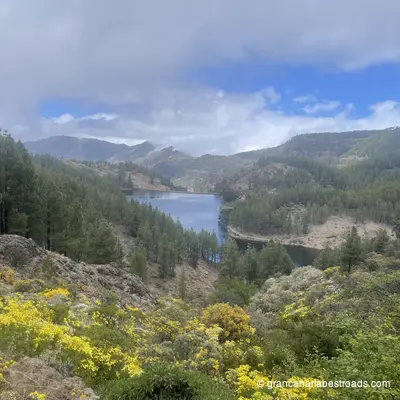
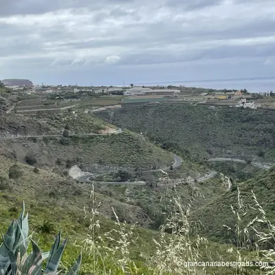
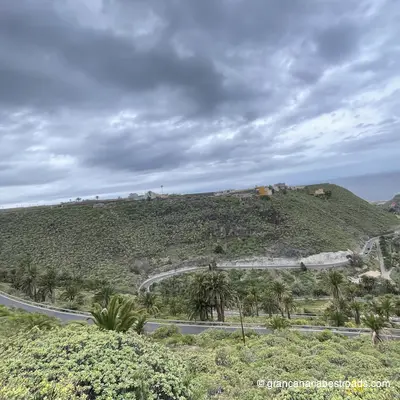
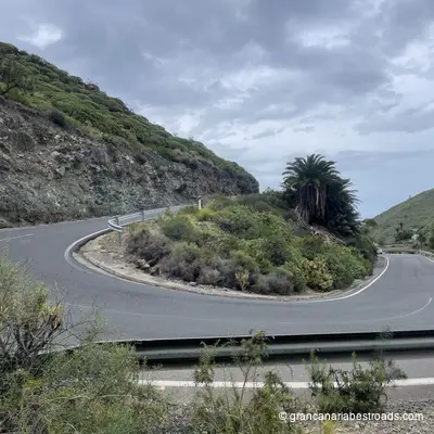
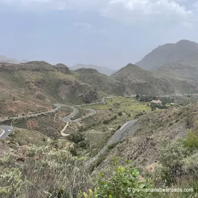
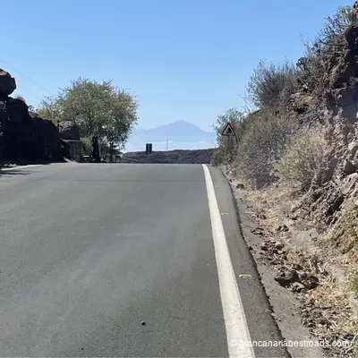
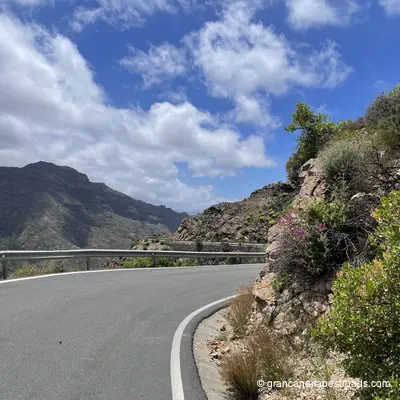
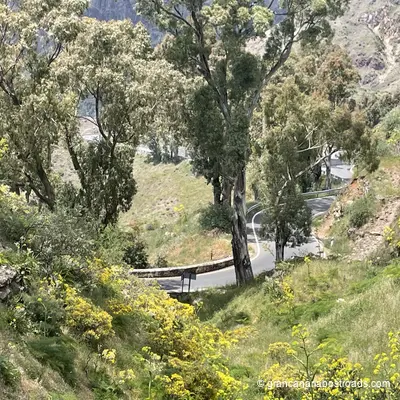
The heart of Gran Canaria - Riding
Itinerary Scores
Description
Wunderschone Kustenstrassen und malerische Ausblicke.
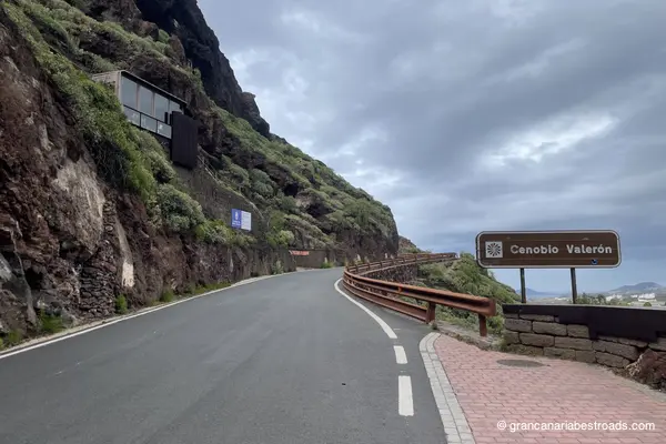
Included Points of Interest
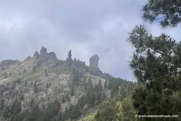
Roque Nublo
Vulkanische Gesteinsformation, 80 Meter hoch auf 1813 Metern über dem Meeresspiegel. Dritthöchster Punkt der Insel, emblematisches Symbol. Ländlicher Park mit spektakulären Wanderwegen.
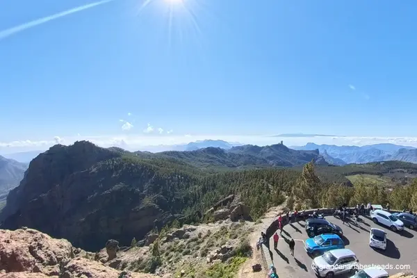
Pico de las Nieves
Höchster Gipfel auf Gran Canaria mit 1949 Metern. Stratovulkan mit Hängen voller kanarischer Kiefern. Aussichtspunkt mit 360-Grad-Blick auf die gesamte Insel vom höchsten Punkt aus.

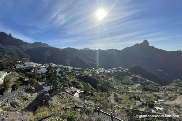
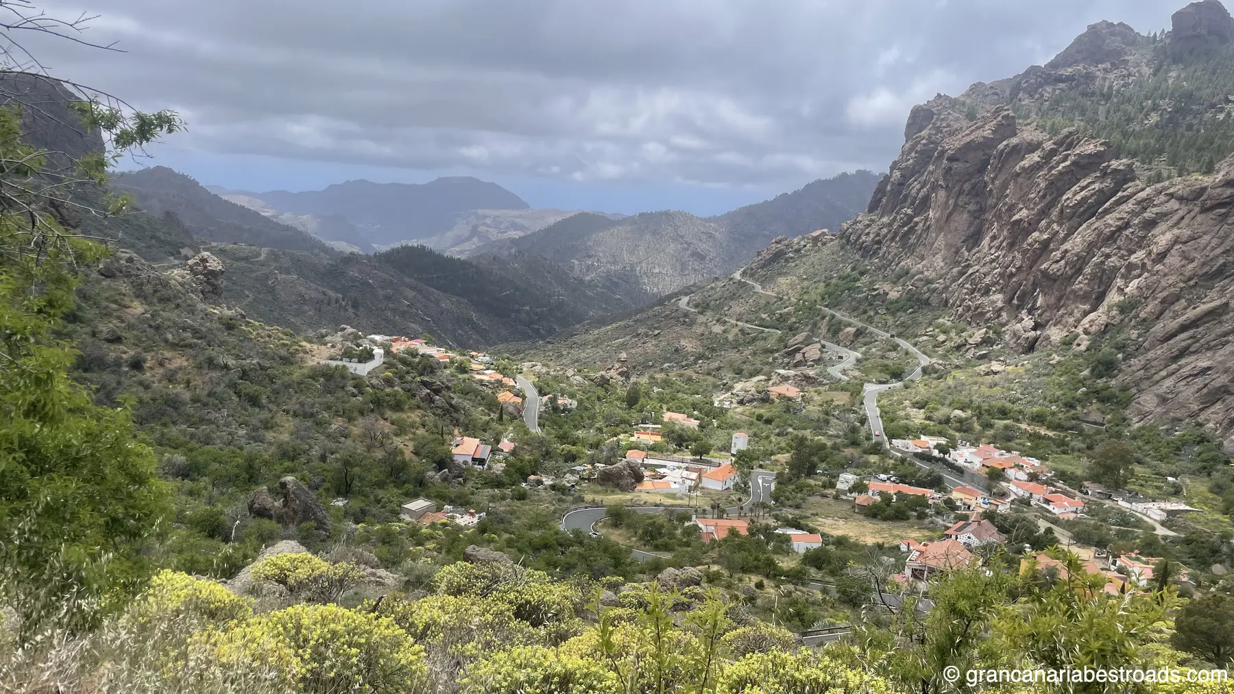
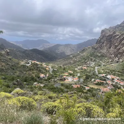
Tejeda
Kleine Bergstadt im Zentrum der Insel auf etwa 1270 Metern. Tor zu zwei Hauptsymbolen der Insel: dem Roque Nublo und dem Roque Bentayga. Gebiet mit Kiefern und zerklüfteten Landschaften.
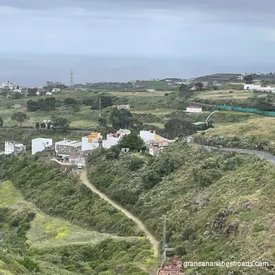
Moya
Charmante Gemeinde im Norden mit Naturreichtum und historischem Erbe. Umgeben von üppiger Vegetation mit Mirador Montañón Negro, die spektakuläre Ausblicke auf vulkanische Formationen bietet.
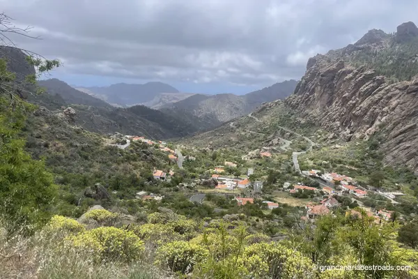
Cruz de Tejeda
Spektakulärer Gebirgspass auf 1560 Metern über dem Meeresspiegel im Herzen der Insel. Es bietet einen Panoramablick auf Klippen, Schluchten und das Meer. Idealer Ort zum Wandern mit 360-Grad-Blick auf die Wildnis.
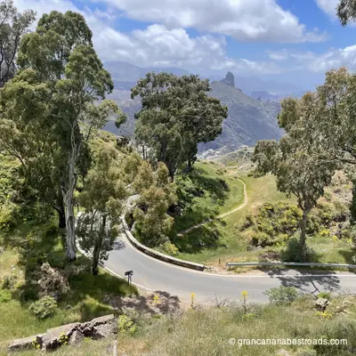
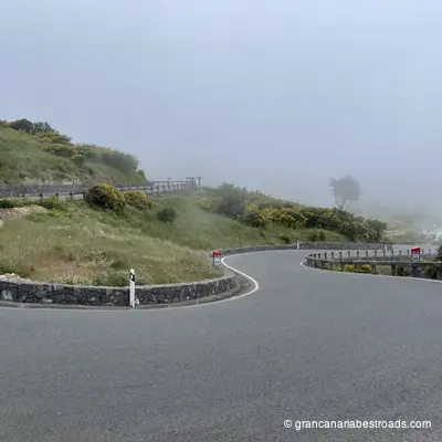
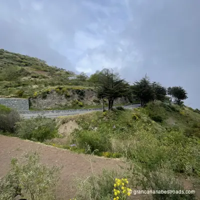
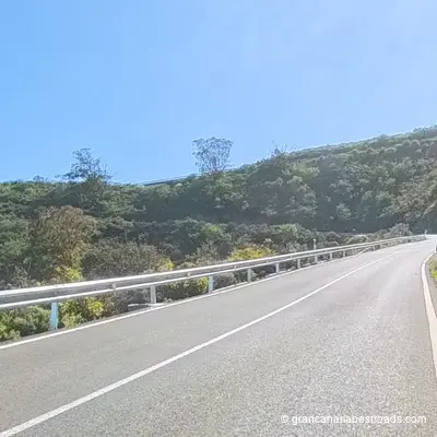
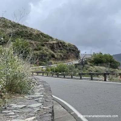
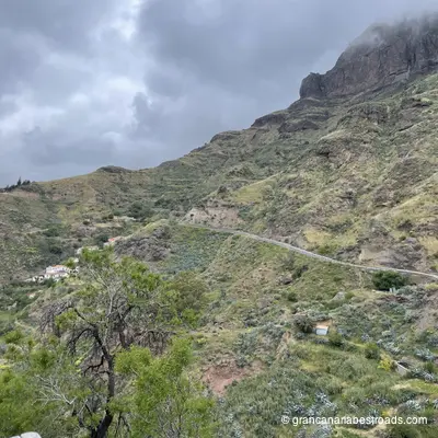
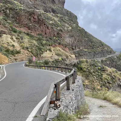
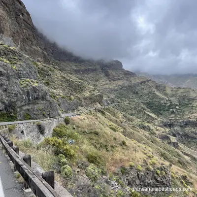
Gallery
Journeys that include this itinerary
Get more value with a complete journey package